The greater Tucson region offers a dry, sunny climate that encourages cycling and walking, both healthy alternatives to driving and ideal for connecting people to public transit options. Through its planning efforts, Pima Association of Governments seeks to improve cycling and walking options for all users in the region via available or acquired funding sources to support infrastructure and safety improvements. These improvements include new sidewalks, signalized pedestrian crossings, bike lanes and off-street paths.
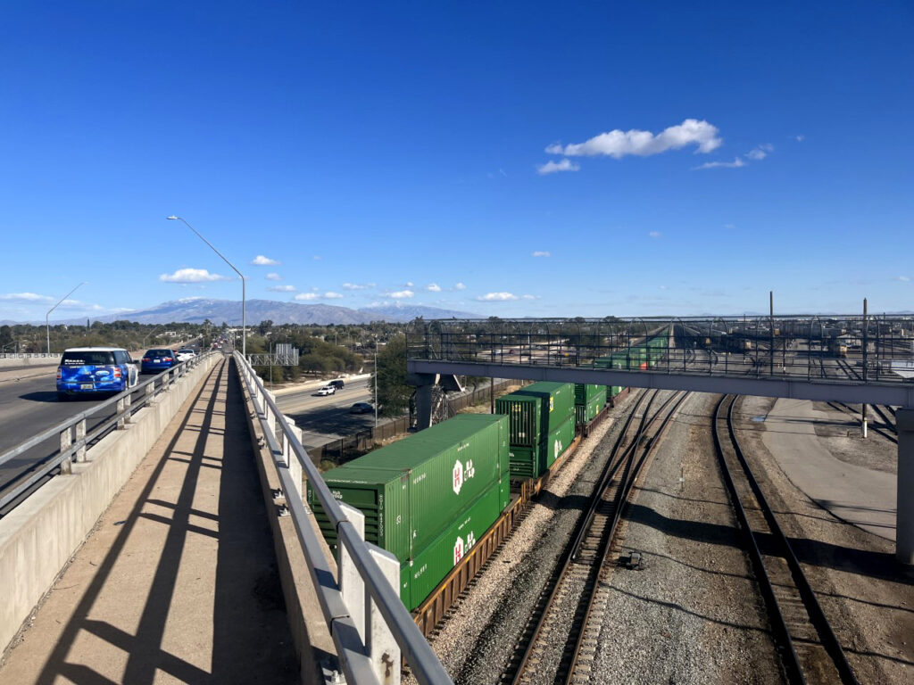
To improve bicycle and pedestrian mobility options and safety, the Regional Transportation Authority, managed by PAG, has funded more than 370 miles of new bike lanes, 183 miles of new sidewalks and 84 signalized pedestrian crossings since the RTA’s regional transportation plan was approved by Pima County voters in 2006. The 20-year RTA plan is funded by a half-cent sales tax, which voters also approved to run through June 2026. The RTA Board has approved a new $2.67 billion regional transportation plan called RTA Next, which similarly will require voter approval of both the plan and a related half-cent sales tax in March 2026 to continue RTA-funded improvements.
The PAG Regional Active Transportation Plan (RATP) was approved in December 2025 and uses a data-driven approach to identify a high priority network and associated recommendations for active transportation throughout the region. The plan emphasizes a safe, comfortable and connected active transportation network for users of all ages and abilities.
The RATP serves as an update to the PAG Regional Bicycle Plan (approved in September 2009) and the PAG Regional Pedestrian Plan (approved in December 2014).
Cycling and walking are also key elements of PAG’s Travel Reduction Program. Using active transportation such as walking or bicycling to commute to worksites can lead to a healthier lifestyle and helps to reduce the number of vehicles on the road during rush-hour traffic.
The regional bicycle network consists of over 1,300 miles of bicycle lanes, routes, shared-use paths, trails and bicycle boulevards.
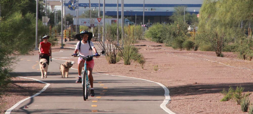
One of the largest bicycle and pedestrian networks for recreation and commute linkages is the Chuck Huckelberry Loop, a 137-mile system of paved, shared-use paths and short segments of buffered bike lanes. The Loop extends through unincorporated Pima County, Marana, Oro Valley, Tucson and South Tucson and can be enjoyed on foot, bikes, skates and horse. Portions of The Loop were funded by the RTA.
The region has received numerous awards and accolades in recent years for being bicycle friendly. Among the awards:
- League of American Bicyclists – Gold Level Region, Gold Level Bicycle Friendly University, University of Arizona; Gold Bicycle Friendly Business Award, Town of Oro Valley
- People for Bikes– No. 1 City for Everyday Biking
- Outside Magazine – America’s Top Biking Town
- Triathlete Magazine – Nation’s Number One Wintertime Endurance Destination
- Bicycling.com – Top 25 Best Bike Cities in the United States
- Travel Channel – Top 10 Cycling Cities
- Redfin – No. 2 Most Bikeable Downtowns
The Tucson Metro Bike Map is a great way to plan your cycling adventure in the Tucson Region. The Map shows the locations of bike amenities like shared-use paths, bike boulevards, separated bikes lanes and enhanced bike routes. In addition to these lower stress cycling options, the printable map contains safety tips, rules of the road and a how-to guide for new riders.