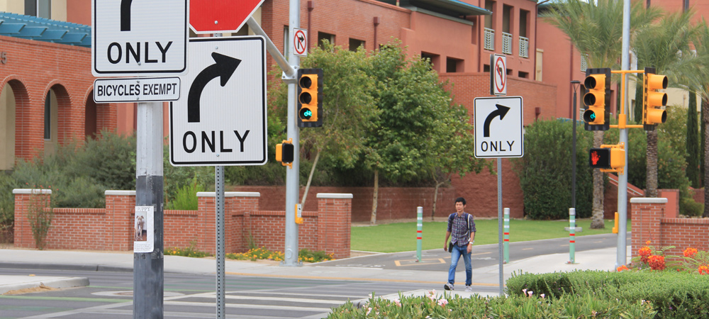
Safety is always top of mind when it comes to transportation planning at Pima Association of Governments and one of several key federal planning factors. Through data-driven regional planning, PAG coordinates with its members to apply information that leads to better safety measures and assists partnering agencies in meeting their respective transportation safety goals.
Safety planning focuses on how to reduce the risk of death and serious injury to all transportation users in the region.
Safety planning measures may include:
- Signalized pedestrian crossings at or near busy intersections
- Dedicated facilities for bicycles, such as bike boulevards and multi-use paths (bike boulevards are on roads with low motorized traffic and that prioritize bicycling)
- Analysis of large, heavily traveled intersections to determine design and signal options to improve safety
- Ongoing roadway safety assessments
PAG’s’ Strategic Transportation Safety Plan is intended to help identify projects that will be included in PAG’s long-range transportation plan.
The safety plan provides data-driven regional goals, objectives, strategies, countermeasures and safety performance measures for the region. Regional partners may use the analysis of this safety data to better understand what is happening in regional transportation systems and determine potential solutions. For example, if most of the crashes at a particular intersection occur at night, a jurisdiction might try adjusting the lighting before embarking on potential design changes.
Tools for safety planning
The Arizona Department of Transportation collects crash data from all jurisdictions in the state, including those in the PAG planning area. PAG then imports the regional data to its Safety Explorer tool to assist local engineers and planners in analyzing the raw information.
Local jurisdictions can query the data to understand trends or troubleshoot crash factors, such as time of day when crashes occurred, whether seatbelts were in use, the age of drivers, or the weather and road conditions at the time of incidents.
PAG also uses the Safety Explorer tool to detect safety performance such as which four-way intersections may be underperforming. A deeper analysis of those intersections may then reveal potential problems, and a jurisdiction can use this information to plan to resolve the issues.
Another source of safety data is from PAG’s Pavement Condition and Digital Imagery collection contract. This contract is to collect regional data regarding pavement conditions on arterial and collector streets every three years. In addition, digital imagery of the roadway surface and the driver’s perspective of the roadway is collected. This information is distributed to the jurisdictions that own the facilities, so that they can use it to plan management and repair programs.
Other safety resources:

