
Info Center
Pima Association of Governments compiles regional data and information available to the public through online maps and data viewer tools, newsletters, news releases, publications and documents, and public education campaigns.

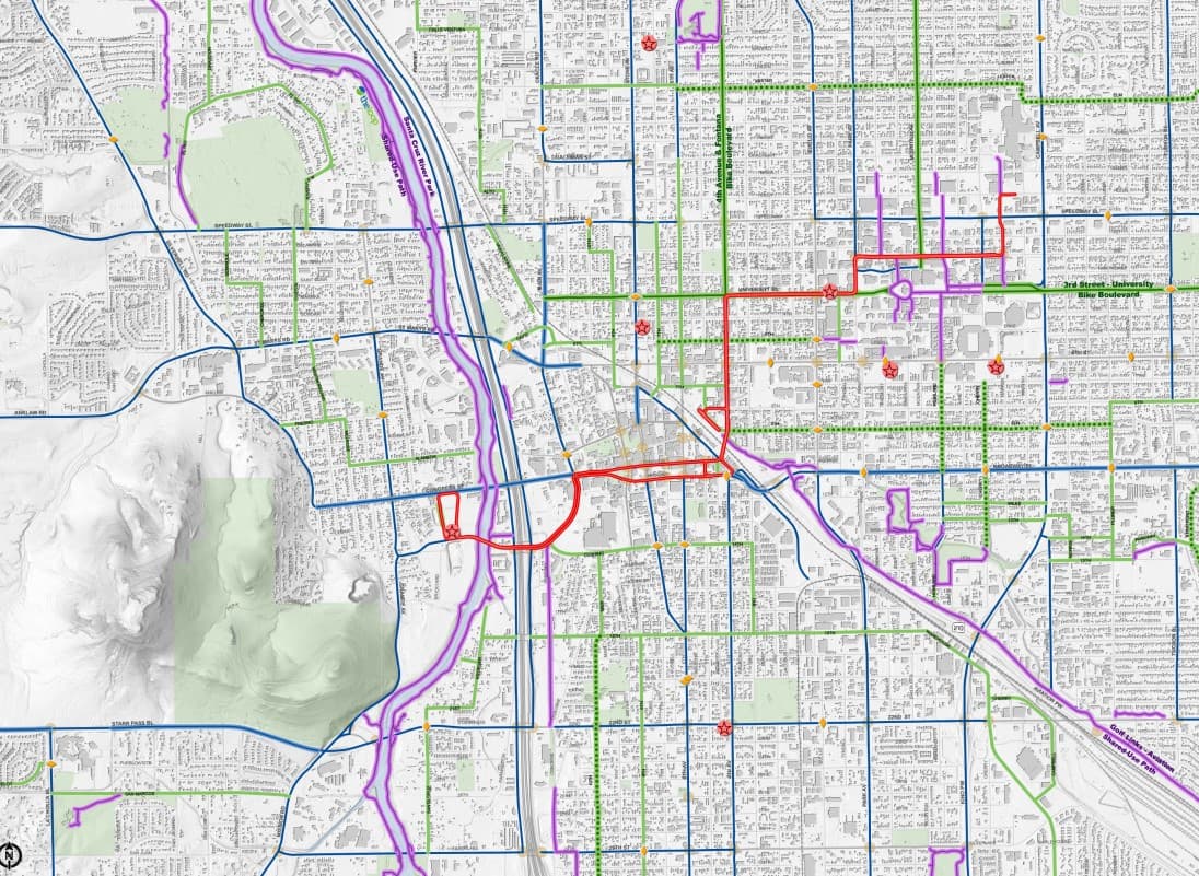
Maps and Data
Data visualization
PAG analyzes and visualizes pooled data resources to enable their use in a regional capacity. Examples include annual pedestrian counts or road condition reports generated in-house, plus external sources such as information collected on the region in the 2020 Census and acquired satellite imagery. Numerous sources of data are used to create maps and tools which provide information for direct application in a variety of regional planning efforts.
News
Latest Info
We are committed to sharing the latest information with you regarding Pima Association of Governments’ programs, services and planning efforts. Please check here for the latest information about PAG surveys, open houses, alerts and regional planning news

Newsletter
regional connections
Sign up for our newsletters and stay up to date on all our planning efforts.

RFP/RFQs
work with us
Pima Association of Governments occasionally seeks requests for proposals or request for quotes. Learn more about PAG Procurement Guidelines or how to contact PAG’s accounting department. Open opportunities and updates are posted here.

Publications and Documents
Our Library
To support its planning efforts, Pima Association of Governments prepares policies, plans, reports and other documents for public review. PAG has a library of its public meeting records and administrative documents, plus historic transportation and environmental documents, studies and reports published by Pima Association of Governments or other resources. Peruse this page to download the PAG Annual Report, as well as PAG’s plans, programs and policies.
