Regional Bicycle Network and Map
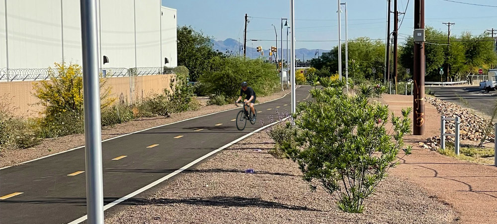
The bicycle network across the greater Tucson region consists of over 1,000 miles of bicycle lanes, routes, shared-use paths/trails and bicycle boulevards, which are streets with low motorized traffic volume and speeds.
The regional network offers bicyclists multiple recreational and commute routes, making it a bicycle friendly network for the whole family, visitors and commuters. In fact, the greater Tucson area was the first region in the United States to be designated by the League of American Bicyclists as a gold-level bicycle-friendly region
Pima Association of Governments developed the Tucson Metro Bike Map to help others plan their cycling trips whether for fun, exercise or the ride to work. The map shows the locations of bike amenities such as shared-use paths, bike boulevards, separated bikes lanes and enhanced bike routes. Learn more about bicycle, pedestrian and driver safety here.
In addition to these lower stress cycling options, the detailed map contains safety tips, rules of the road and a how-to guide for new riders. In addition to the online interactive map and a printable version, a folded map is available at various business locations across the region.
Enjoy the ride!
Bike Maps
- Bike Map Pickup Locations
- Tucson Metro Bike Map – printable – Updated Jan. 2025
- Tucson Metro Bike Map – interactive map
- This map is popular for residents, snowbirds and vacationers alike. Visitors, please check out these helpful desert safety tips:
- Wise desert dwellers plan rides in the early morning or late afternoon when the sun and heat is less intense. Learn the signs of heat-related illness and stay informed about heat waves here.
- Drink more than usual and don’t wait until you are thirsty to drink (2-4 cups of water every hour while exercising outside). You may perspire more than you realize because of the dry air. Always bring plenty of water to rehydrate, no matter the season or how short the ride.
- Summer monsoons are serious. These gusty heavy rains create poor driver visibility, flood some streets with stormwater, and leave behind debris. Take shelter and the storm may pass shortly.
- Deserts are prickly, so ideally seal your tires and bring a small pump.
- This map is popular for residents, snowbirds and vacationers alike. Visitors, please check out these helpful desert safety tips:
Annual Bike and Pedestrian Count
Every fall, PAG conducts a bicycle and pedestrian count at approximately 80 intersections or locations throughout the region to learn more about habits, trends and characteristics of these communities.
- PAG Pedestrian Data Explorer – Interactive map of last 5 years with data tables available for download
- PAG Data Portal – GIS viewer of last 10 years with shapefile available for download

