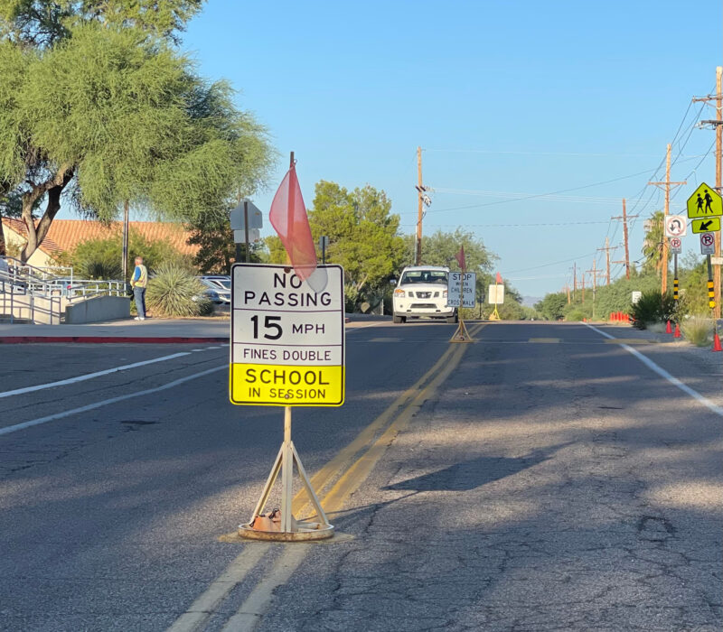
 School is back in session, so you have an idea of how driving through school zones slows your commute. Have you ever thought of trying another route? Pima Association of Governments offers a School Search Map that can help you plan your trip, no matter the destination. The mapping tool can be adapted to help you plan your daily commute or a trip to an unfamiliar part of town.
As the name implies, the tool helps you find out which schools are located near your home address or along your way to work. The tool provides addresses of elementary, middle and high schools, and you also can view a school’s boundary.
Armed with this information, drivers or bicyclists can avoid school zones and save time during the morning or afternoon commute. On the flip side, fewer cars or bicycles passing through school zones can make is safer for pedestrians to cross the road.
For those traveling by foot, bike or other non-motorized methods, the map can help you find the safest or fastest route to school or work. On the School Search Map, enable the “bikeways” option to find information that will help you customize your trip to avoid streets with heavy traffic.
Bikeways can include shared-use paths, enhanced bike routes, bike lanes and more. Toggle on or off the ones you want to see. Other options show the locations of bike shops, libraries, the Sun Link streetcar route and pushbutton bike crossings at intersections.
By using PAG’s School Search Map and planning your trip, employees can reduce commute or other travel time, contribute to everyone’s safety and reduce idling, which saves on vehicle emissions.

